The United Nations just told the world’s classrooms to stop shrinking Africa—and that choice says more about power than paper.
Story Snapshot
- United Nations members backed a resolution urging equal-area world maps like Equal Earth.
- Togo led the push on behalf of African states with support from the African Union.
- The vote was 164 to 1 with six abstentions; the United States voted no.
- The measure is nonbinding and does not ban Mercator, but it urges change in teaching and general use.
What The United Nations Actually Voted On
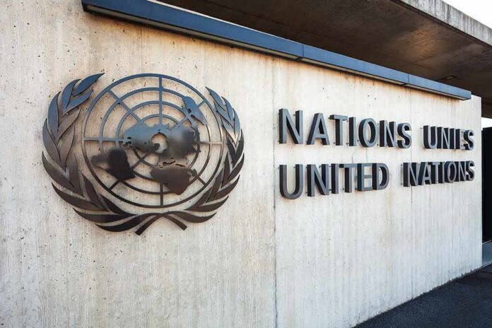
The United Nations General Assembly adopted a resolution that promotes equal-area projections, notably the Equal Earth map, for education and general use. The text frames this as a fix for the size distortions people see on the common Mercator world map. Reports state the vote passed 164 to one with six abstentions. The United States opposed it, while African states led by Togo sponsored it with backing from the African Union. The resolution is not a legal mandate and does not ban Mercator.
Supporters argue the goal is simple: show land by true area so students can compare continents fairly. Africa looks small on many maps, even though it spans more than 30 million square kilometers. Equal-area maps keep land area honest, so Africa’s share of the globe appears at scale rather than compressed under Europe and North America. Coverage quotes the resolution calling Equal Earth “a relevant option” to improve accuracy in world maps used by the public.
Why Africa Looks Bigger And Greenland Shrinks
The Mercator projection, born in 1569, was built for navigation. It keeps angles and compass bearings straight, which sailors needed. But stretching near the poles inflates high-latitude lands on world maps. That is why Greenland can look close to Africa in size, even though Africa is far larger. Cartographic groups say Mercator should not be the default for world maps because its area error misleads at a glance. Equal Earth trades angle accuracy for honest area and a more balanced global picture.
Classrooms and news graphics are not ship bridges. They need fair comparisons more than straight rhumb lines. That is the core of the pitch: use tools that fit the job. Keep Mercator for navigation charts and some web tiles that need angle fidelity. Use equal-area for atlases, posters, and quick-learning visuals. This is not a war on one map; it is an update to match purpose to projection. The United Nations vote signals that priority even without force of law.
Why The United States Voted No
The United States called the measure ideological and a distraction from real global threats. Its representatives said the debate drags the body into fights over “reparations” and “cognitive justice” linked to a 16th-century projection. They warned that such resolutions stick to the institution like barnacles and erode its credibility. That case plays to a common-sense test: focus United Nations time on peace, security, and the economy, not classroom wall maps.
The UN General Assembly has voted to adopt a new world map projection that shows the size of Africa and other continents more accurately.
The “Correct The Map” resolution, sponsored by Togo and backed by African Union member states, received support from 164 countries. The… pic.twitter.com/tDuDLYWVtK
— Ⓝⓖ'ⓞⓡⓞⓡⓘⓔⓣ🐐🇰🇪 (@baroswahjr) September 5, 2026
On the facts, the United States is right that the resolution changes nothing by force. It is nonbinding and cannot tell publishers what to print. But the vote does set a norm that many ministries and companies will notice. On substance, the map choice is practical, not mystical: equal-area for fair size, Mercator for bearing. That aligns with conservative values on fitness for purpose and honest measurement. If maps shape perception, then better defaults help kids learn reality, not distortion.
What Changes Next And What Does Not
Textbook committees, education ministries, and newsrooms now face a choice. They can keep using Mercator because it is familiar, or they can shift to Equal Earth or other equal-area options for general displays. The resolution urges the latter but cannot force it. Watch procurement policies at United Nations agencies, big publishers, and major digital platforms. If templates and default settings change, classrooms will follow over time. If not, the vote becomes signal without traction.
Expect fierce headlines about “shrinking America” or “supersizing Africa.” That frame misses the point. Equal-area maps do not punish the United States; they correct visual scale everywhere. Africa gains its real share of the page. Europe and North America lose visual padding they never owned. The practical test stays simple: when the task is comparing places, pick a tool that tells the truth at a glance. On that score, the case for equal-area is strong.
How To Judge The Map You See Tomorrow
Ask what the map is for. If it teaches size, expect equal-area. If it guides a route, expect Mercator or another angle-true tool. Then check whether the legend discloses the projection choice. Honest labeling builds trust. That is how institutions regain credibility: tell people what you are showing and why. If the United Nations vote nudges publishers toward that clarity, the world will learn more, fight less, and still sail straight.
Sources:
diplomacyandlaw.com, newscord.org, english.aawsat.com, en.wikipedia.org, ctvnews.ca